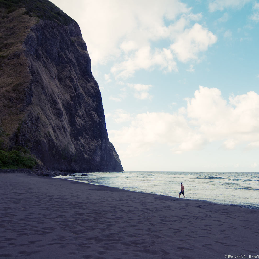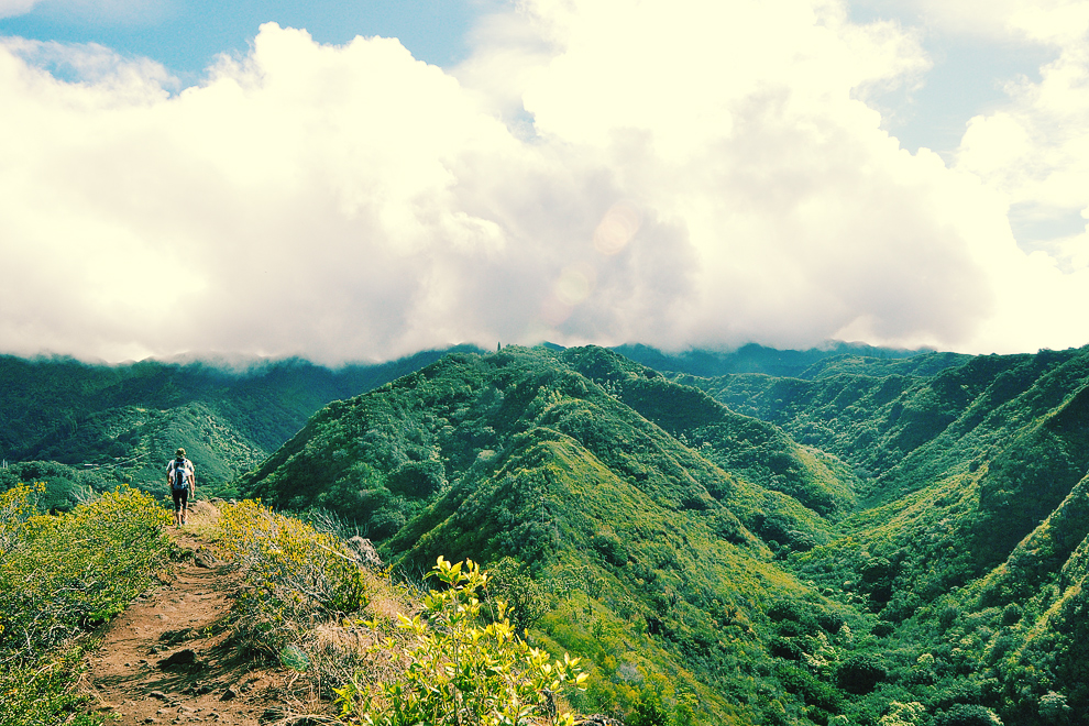
The start of the trail.
I’ve read that this hike is easy. I thought it was pretty tough. Lanipo is a 7.5 mile (round-trip) hike up one of the ridges, called Mauna Lani Heights, above Kaimuki. It can take anywhere from 4 and a half to 6 hours depending on how fast you hike. Craig, Eva and I went up here over the weekend.
I think the intensity of this hike has a lot to do with the conditions of the day. For us, the biggest challenge was mud. It rained the day before and even sprinkled during our hike. It felt like almost half the trail was muddy and we were slipping and sliding all over the place.
The shape of this ridge goes up then down then up then down then … well you get the picture. Combine this with the mud and you’ve got a hike that’s sort of an endurance challenge. Try as we might, we all ended up on our asses several times, our knees were sore and shaky, and when the sun burned through the clouds it felt like we were hiking in an oven. It was a test of will but to tell you the truth, I kind of liked it.
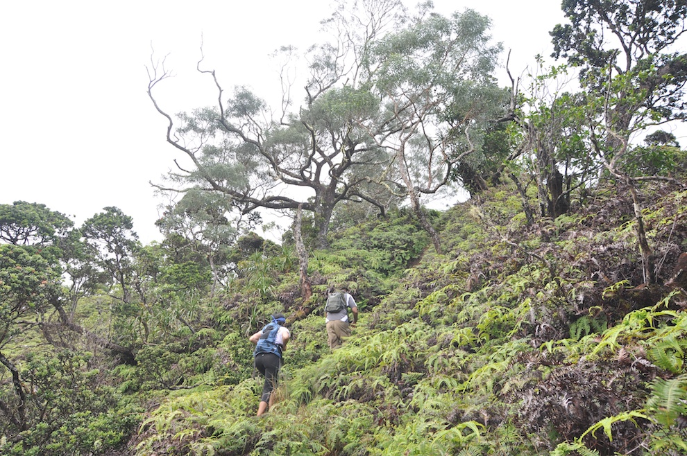
Okay here we go. Up then down then up then down… Most of this trail is exposed so it’s better to start this hike early.
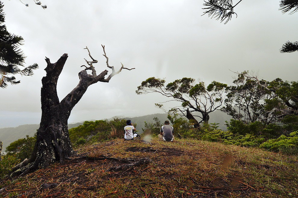
The first rest stop is a wide clearing. It started to sprinkle at this point. The rain was definitely welcomed as it was a hot day.
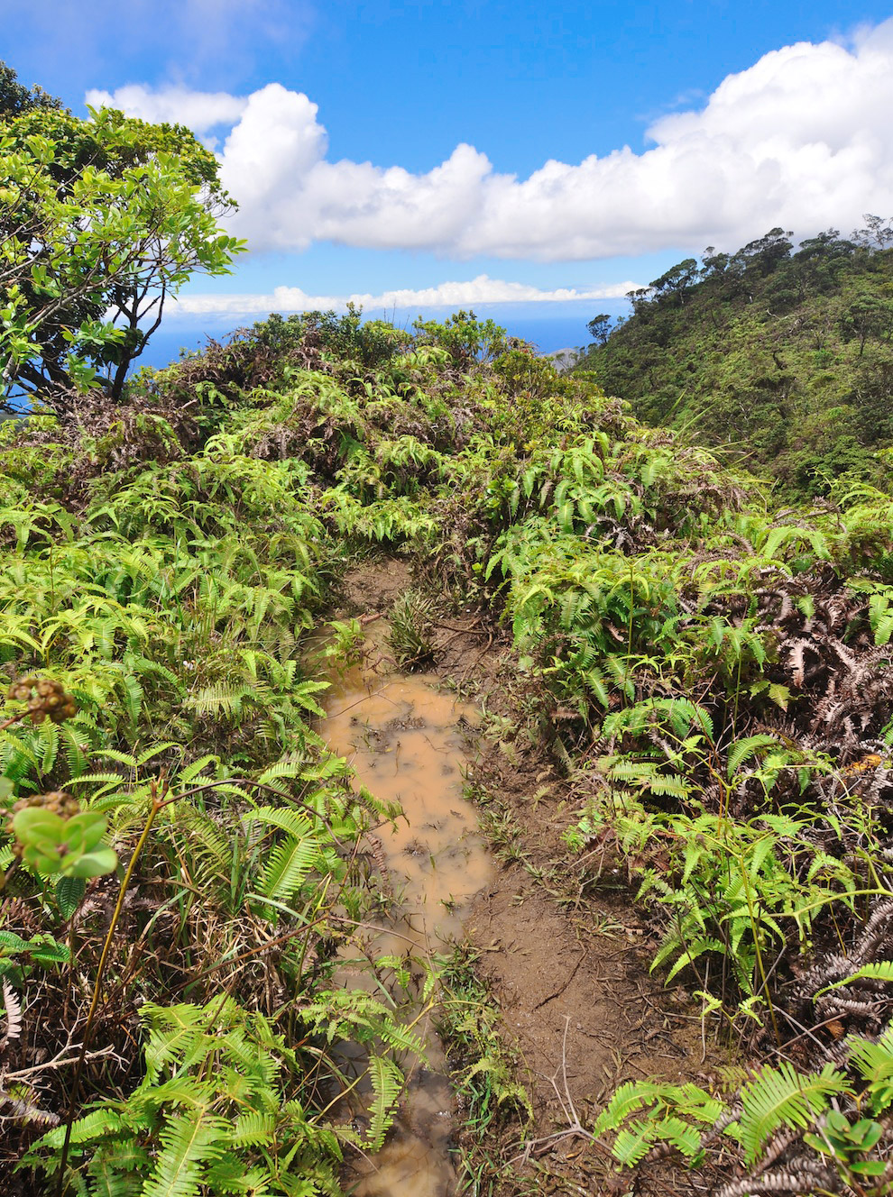
When you come across muddy parts, here’s a tip: don’t try to step to the side of the trail to avoid the mud. The trail is on a very narrow ridge. So, you might be stepping on ferns but with no solid ground underneath you.
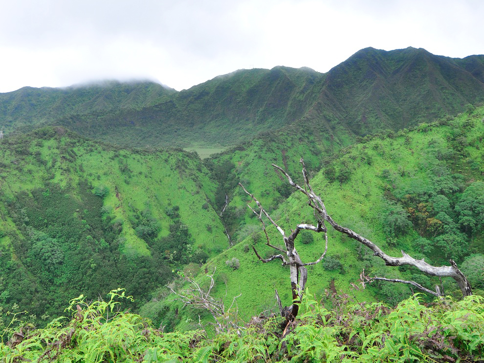
As you get higher up the ridge you can see Kaau Crater. The inside of the crater is a marsh that drains out through the waterfall (center of photo).
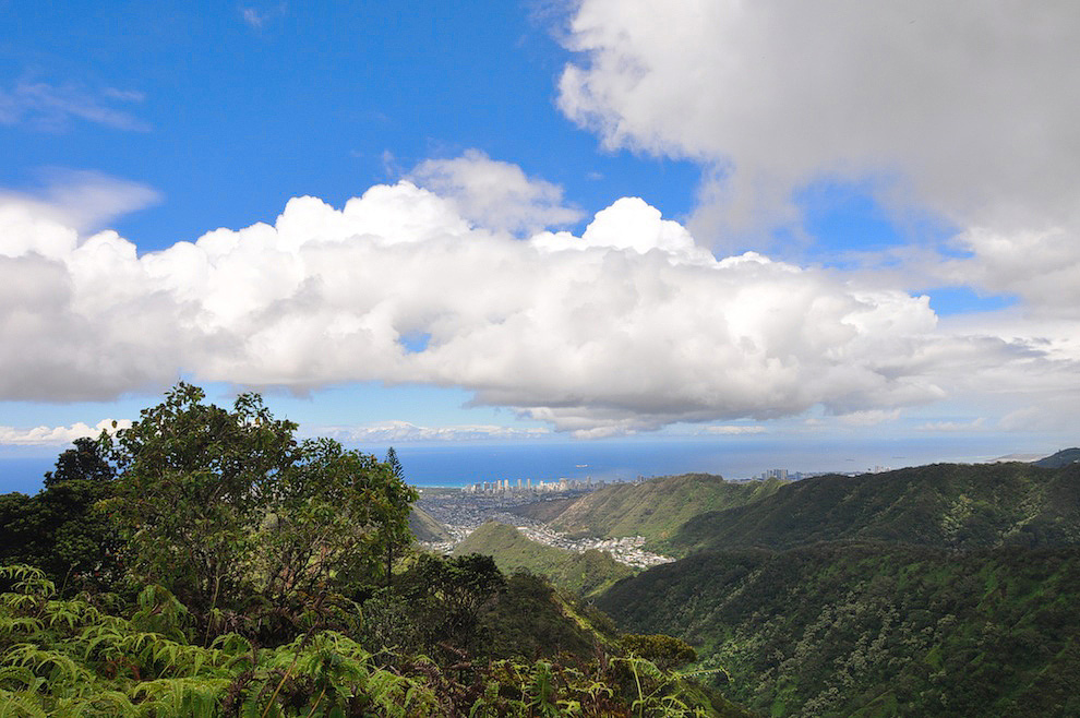
When you look back toward town you can see Waikiki.
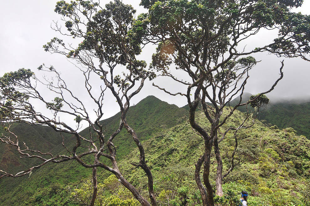
The peak in the center of the photo is our goal.
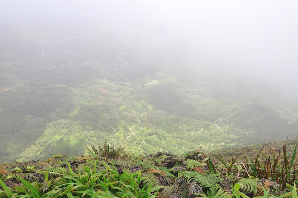
Well, we made it but it’s overcast. From photos I’ve seen, the view from this peak is amazing. I still haven’t seen it as it was overcast at the top the day I hiked Mt. Olympus (a couple ridges over) as well.
But, if you want to see what the view looks like, check out this awesome panorama photo from Lanipo’s summit.

Did I mention the mud on the trail yet?
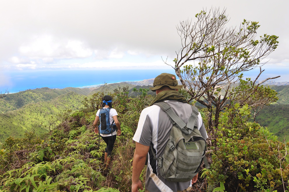
Onward and downward. 3.7 miles back to the car.
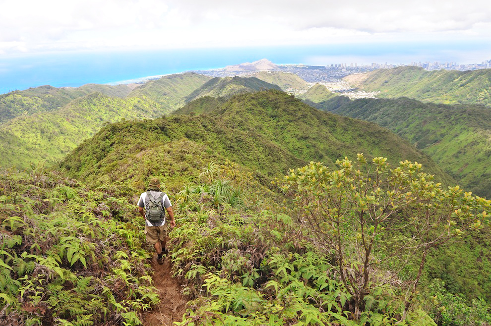
It’s a long way back and at this point the sun will be beating down on you. This is where having a lot of water comes in handy.
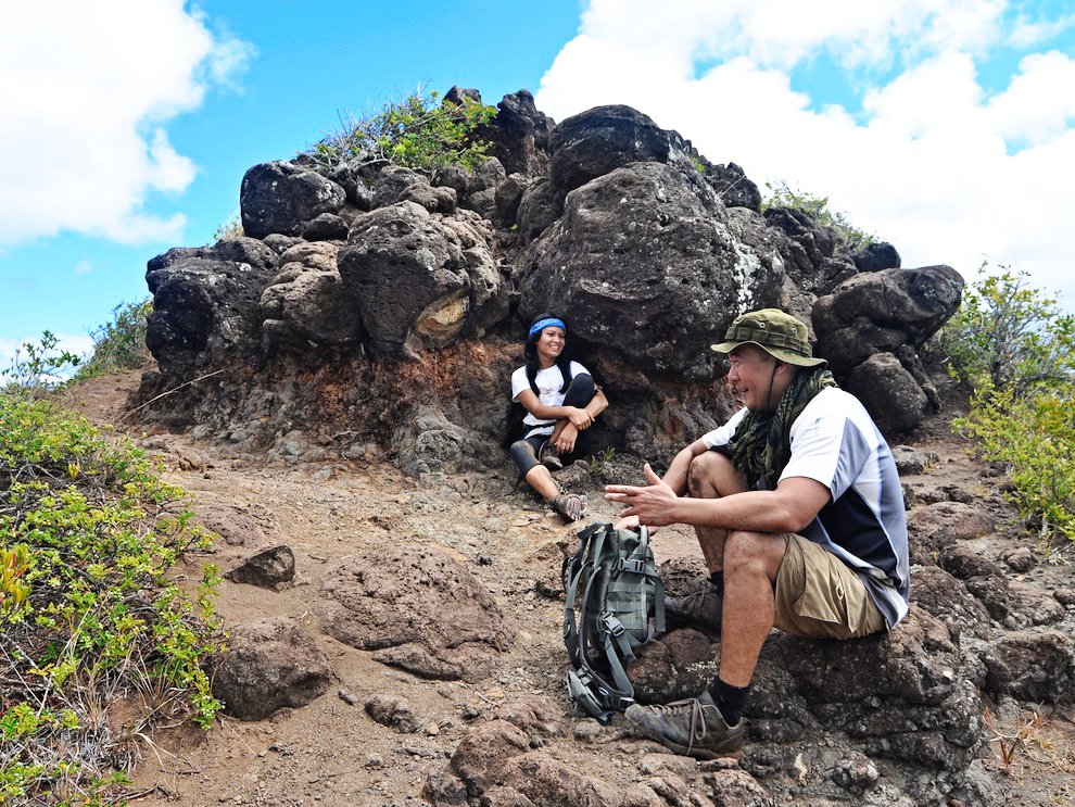
We look happy here to it’s actually more expressions of delirium. We’re at the home stretch. It was our last break and we were weary. But, we powered through it and in the end had good reason to give ourselves a pat on the back.
And, here’s the trail on a map.


